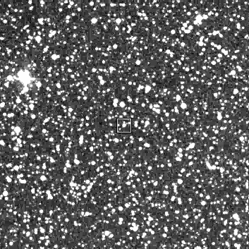
Finder Chart for IT Lac

STScI Digitized Sky Survey, © 1995 AURA, Inc.
Field is 600x600 arcsec with 1.70 arcsec pixels.
North is up, west is to the right. Format is 353x353.
Click here to
download the Digitized Sky Survey FITS image of this field.
Versions of saoimage
more recent than 1.12 will display J2000.0 coordinates if
launched with: saoimage -fits IT_Lac.fits
"
The digitizations of the Schmidt sky survey plates have been made
by the Space Telescope Science Institute under contract NAS5-26555
with the National Aeronautics and Space Administration. Notices of
copyright and appropriate credits for the original photographic
materials, which were taken with the Oschin Schmidt on Palomar
Mountain and the UK Schmidt at Siding Spring, appear on the
individual headers. Users of these data are asked to note and comply
with the copyright limitations and acknowledge both the original
source and the STScI digitization in any further use they make of
these data.
"

